Imago Mundi (Ancient Babylonian Map)

Description
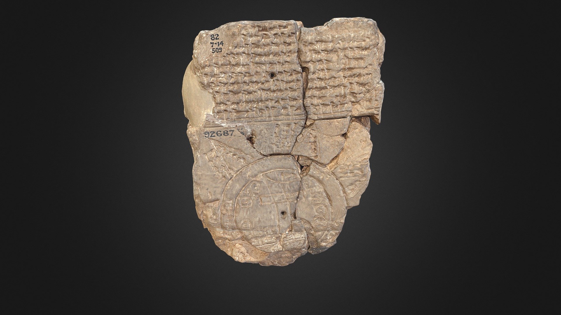
PDFThe Imago Mundi dates back to around the seventh century B.C.E. and is considered to be the oldest world map ever discovered
Created around the seventh century B.C.E., the map centers around the Euphrates River and includes various cities, mountains, and other bodies of water in the area.
The cuneiform text on the tablet tells of the creation of the world by the god Marduk and mentions the king Utnapishtim, who built a giant ark to survive a flood in a story paralleling the Biblical account of Noah. Now, researchers have deciphered additional text on the tablet that has left experts baffled for centuries — and they think it may reveal the location of Noah’s ark.
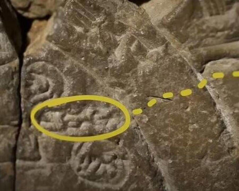
One inscription on the Imago Mundi instructs readers journeying to the fourth triangle depicted on the map to travel seven leagues until they come across “something thick as a parsiktu-vessel.” Parsiktu is a rare term that refers to a boat of a particular size, and it most notably appears in the Babylonian flood story that parallels the Biblical tale of Noah’s ark.
In Mesopotamian myth, the ark was built by Utnapishtim in 1800 B.C.E., and it ultimately came to rest on a mountain called Urartu. Biblical scholars believe that Urartu is the same as Ararat, the mountain where the Bible states Noah’s ark landed. The Imago Mundi map seemingly points to the fourth triangle as the location of the ark.
Tags
Model origin
The author remixed this model.
Differences of the remix compared to the original
Fix mesh for 3d printing
exaggeration of depth of inscriptions using resize in the relevant direction.
cut back


